Dangerous Temps & Storms Expected Through Weekend In Baltimore
Baltimore Braces For Sweltering Heat And Storms Through The Weekend
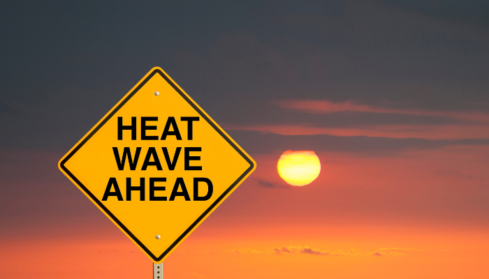
After a pleasant stretch of low-humidity days, the Baltimore region is gearing up for a surge of classic July heat and humidity that will last through the weekend and into next week.
Humidity began climbing on Wednesday, signaling a warmer and stickier night ahead. Temperatures overnight will only dip into the low 70s across most areas, with a few cooler pockets reaching the upper 60s under partly cloudy skies.
Thursday: The summer heat ramps up with highs in the upper 80s to low 90s. Rising humidity levels will push the heat index close to 100 degrees by the afternoon, making conditions feel especially uncomfortable.
Friday: Expect the hottest day of the stretch. Highs will soar into the mid to upper 90s, while the heat index could climb above 105 degrees in some spots. In addition to the dangerous heat, there’s a slight risk for severe weather during the afternoon and evening. Strong wind gusts, heavy downpours, and frequent lightning could lead to isolated flash flooding.
Saturday: Highs remain in the low to mid 90s with humidity keeping the heat index above 100 once again. Thunderstorms are possible by the afternoon, including the potential for a severe storm and localized flooding.
Sunday: Conditions may ease slightly, but it will still be hot. Temperatures near 90 degrees, high humidity, and chances for storms will continue.
Looking Ahead: Early next week offers only modest relief. Monday and Tuesday will stay dry but hot, with highs sticking in the 90s. A cold front is expected to pass through by Wednesday, bringing a chance for storms and, finally, a dip in humidity levels to round out the week.
Safety Tips: Residents are urged to stay hydrated, avoid strenuous outdoor activities during the hottest parts of the day, and keep an eye on the forecast, especially for any severe weather alerts.
Stay safe and stay cool, Baltimore.